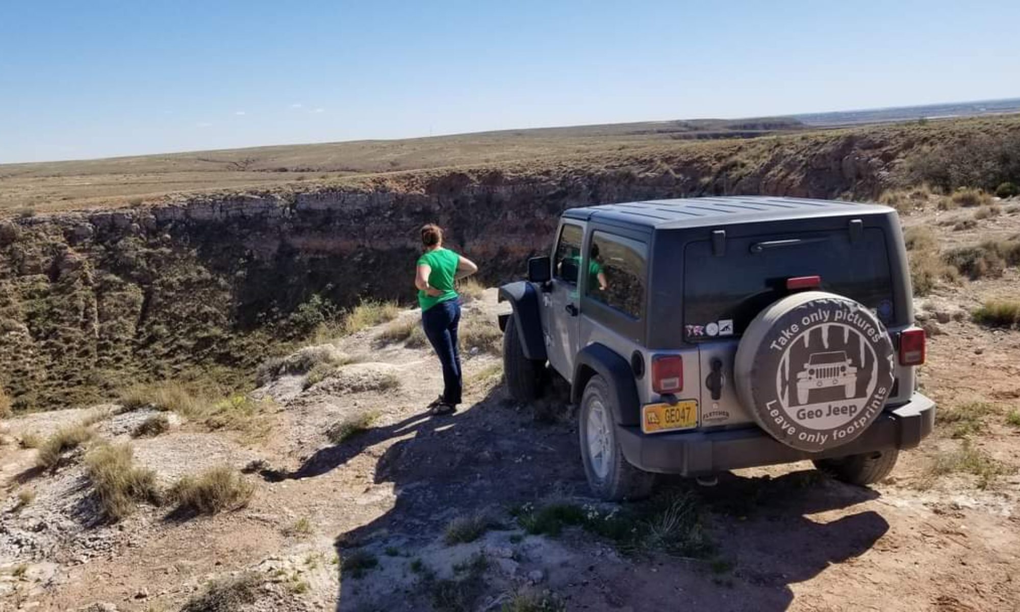


What I normally share are the different stops along my journey. You get to see the grand places I have chosen to see along my grand adventure: the parks, caverns, museums, beachs and universities. Since today had no stops at such places I figured it was the perfect opportunity to share with one of the largest time consumers of my adventure: the drive. You can thank technology, and the ease of taking a picture with my cell phone, for most of these photos (a little lower quality than my Nikon D5000).
Many vacationers take a flight to get to their destination. It is sensible when you are on a limited time constraint, but it takes all of the journey out of the vacation. A big part of an adventure is experiencing it all, like watching the environment slowly shift around you until you find yourself in a place completely alienated from what you call home. It also includes the strange vehicles and fellow travelers you see along your route, the beautiful views, the roaring rivers, and the roadside wildflowers. If you are interested in geology, the road cuts are hard to ignore. (I once had a geology professor exclaim that it was an “occupational hazard” as a geologist).
Today was a longer drive, and through an area I had never been to before, so it was quite an experience with plenty to see along the way. After leaving my cousin’s in Baltimore around 730 in the morning I headed through Pennsylvania, which was blanketed in a thick fog. The drive here reminded me a bit of the video game Silent Hill, which happened to be even more fitting since Pennsylvania is full of coal. I used to play that game as a kid and it would scare me so much I would have to pause the game, walk away, and come back.

After I made my way through the fog I found myself in the rolling green mountains of eastern Pennsylvania. The towns sat in valleys, with tall church steeples standing out against a sea of mostly white homes and businesses. There were wildflowers blooming along the road that I was able to enjoy when stuck in traffic in a construction zone.


Entering New York for the first time, I had prepared myself to see the country. I had reminded myself several times before this drive that New York state is much more than New York City. Many of us who don’t live on the east coast automatically think of big city lights when thinking of New York. Driving through New York for the first time, most of what I saw was the countryside.

Massachusets was much the same as the New York I drove through. My GPS has this lovely option: Anytime I enter a route it asks me if I would like to avoid toll roads. I always click yes, and it will take me on a glorious, scenic router through the country side. Along the way to Boston I saw a waterfall and, without thinking twice, turned right over the bridge so I could make a quick stop to see it.
The bridge, I didn’t notice until I was already on it, was closed in the opposite direction so I had created a bit of a detour for myself. I parked along the road at the end of the bridge, that went over the Conneticut River (I believe) and walked down to where I thought I would be able to see the fall. I walked across an old bridge, following the sound of rushing water, and realized I couldn’t see it from this vantage. When I looked back across the bridge I realized that walking across it probably wasn’t the best idea: The river was flooding and the water was swirling about the bottom of the bridge. The walk back across the bridge to solid ground was disorienting now that I noticed how close the roaring surface of the river was to my feet. It made you feel as if you were walking a little sideways.


After arriving safely on the other side I took more pictures of the area and promptly decided it was probably time to get back on the road so I could arrive at my hotel in Boston area at a decent hour. The rest of the drive was fairly uneventful. I took pictures of some notable signs that I don’t see on a regular basis (I missed taking a picture of “Moose Xing” right outside of Boston).

Tomorrow was to be another day, full of activities, and the long drive had worn me out. It wasn’t hard to sleep tonight. You may ask why I would want to spend so much time driving. I get asked all the time how I can spend so many hours on the road. Well, I think all of these pictures tell the tale themselves, but the answer is simple: It is an exciting journey, full of sites and experiences all in it’s own. While we plan on starting and ending points, and certain via points along the way, the journey itself can sometimes be just as stimulating. It sure beats sitting an an airplane looking at clouds all day.
-Nicole


