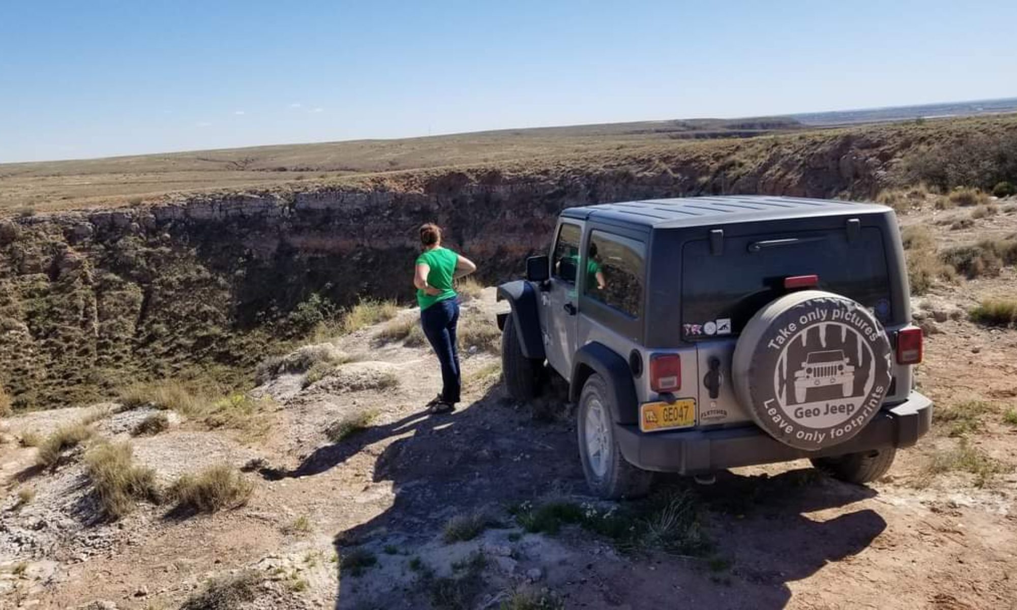
Day 43.5: The Road Less Traveled

GPS.
Although I am from this era I have fought against the technology generation’s idea of navigation. It wasn’t until this past December that I even owned a GPS. I had borrowed family members GPS from time to time, but I always printed out maps and picked up state and local maps along the way. This summer was a little different. I had a North American atlas- from 2008- but I actually relied on my new GPS pretty heavily. In general the GPS keeps you on interstates and other highways well traveled and dotted with tourist traps and gas stations. Today I must have accidentally changed the settings.
I was making my way from Glacier N.P in Montana to Sandpoint, Idaho. I glanced at the atlas but turned on my GPS and followed it’s directions. I thought I would be staying on highway 2 all the way to highway 95 where I would be on the straight track to Sandpoint. Instead the GPS told me to turn left onto Mc Ginnis Meadows Rd., taking to long way to town.
Soon I found myself driving along a country mountain road that certainly wasn’t wide enough for another vehicle to pass me (if I had run into another soul on the 30 mile stretch of road at all…but I didn’t….I really was in the middle of no where). I don’t know exactly what happened to make the GPS direct me this way. I drove through the water of lakes that had crested their banks onto the dirt and gravel road, I tumbled over washouts above several hundred feet deep ravines filled with rushing rivers. I climbed up to tops of mountains and back down to the bottoms of the river-filled ravines.

Bumping along Vermillion River Rd in Montana/Idaho. June 21, 2011

There was a point where I was afraid I should have turned back. Surely driving alone on these roads where there was no cell phone service wasn’t the smartest move to make. Then again, I was on this trip for adventure…would I ever know what laid at the end of this road if I didn’t follow it? I continued on, and after a certain point it made no sense to turn back. It was time to embrace this near off-roading experience. It was actually quite scenic and the road was fun. I like to blame this event on my Jeep and my GPS plotting against me….

Why do they always have warning signs at the end of my paths of travel and not at the beginning? LOL! Juune 21, 2011

I was happy when I emerged from the wilderness at Noxon Reservoir as the sun began to turn the water gold. The rest of the drive to Sandpoint was along the water, beautiful and serene as it twisted around the mountaineous terraine. I was happy to arrive in town and I found a local restaurant in hopes to enjoy a big meal including a baked potatoe. I was in Idaho, afterall. Turns out the restaurant was out of baked potatoes…

Noxon Reservoir June 21, 2011

I guess that not everything is ideal, but that doesn’t mean it isn’t good. Sometimes life’s curveballs can be just as good as what we thought we had predicted for our lives. We try to make our plans for lives, and we alter those plans depending upon the information we receive. Sometimes, even with all of the information we find, life takes turns all on it’s own. It may not be ideal, but the strength and growth we find in ourselves when we meet unexpected obstacles makes life exciting. Sometimes better. We just have to wait and see. We may not want to plan to take the more perilous route, but the experience when we are put in a place to take it is one we will remember for a lifetime. That experience will help us suceed in the future, and it means we are stronger than those who have always received exactly what they wanted.
Tomorrow I venture to the far northeast of Washington state. I would say I’ll see you there, but I can’t be certain….I’ll just say I’ll see you tomorrow, no matter what tomorrow means.
-Nicole

A cave or mine along Vermillion River Rd June 21, 2011

Day 43: Glaciers, Deer and Bears, Oh My! Glacier N.P.

During my visit to Crystal Lake Caverns on Day 34 I spoke shortly on the effects of sacrificing small parts of nature to promote preservation of itself at large. Yellowstone and Glacier National Parks, both, show exactly what this means by changing the way nature interacts with human activity. My friend from Missoula and I went on two long hikes during our visit to Glacier National Park, and during both we noticed abnormal wildlife patterns, starting with our first drive through the park.
We arrived at the park only to find out that, like the rest of the continent, this winter had an abnormally high amount of precipitation and the snow pack was still blocking the pass. We would only be able to experience the Western portion of the park. We drove as far as we could and camped at the end, in the Avalanche Creek campground. The campsites are simple, a firepit and picnic bench with the wooded campsite, and no showers or hot water available. It was right next to the first trail we would hike that night, so we decided to go check out some of the lakes and rivers before we took hit the trail.

Glacier N.P. Blackbear June 20, 2011

On the drive back towards the western entrance we came across some traffic, which usually indicates some sort of wildlife has captured the attention of tourists. After sitting for a short time waiting for the cars to take their turn at taking pictures, we saw the black bear begin to wander around the cars. He took his time, looking into the cars to see who would, unintelligibly, offer him food.
The lakes here are glacial, and the biggest one that we were able to see was Lake McDonald. As may be obvious, a glacial lake is formed by a glacier, in the case of Lake McDonald, one that was over 2000 feet thick. As the thick river of ice slides down during melts it bulldozes dirt and rock in front of it, forming a wall called a terminal moraine. When the glacier receding as the climate warmed, the moraine was left behind, damming a lake that stretches to depths of 472 feet.

Lake McDonald in Glacier N.P. June 20, 2011

When we returned to our campsite we decided it was time to hike the Avalanche Creek Trail so that we could make it back before dark. We had been joking about the bear mace marketed to the city slickers, selling for a whopping $55 per can at the stores within the park. The black bears aren’t anything to worry about, but grizzlies can get pretty aggressive if they are startled by a humans. As long as you follow some common sense rules about wildlife they don’t normally bother you, but as has been indicated in the past few days these animals aren’t quite like normal wild animals. They are used to humans.

The Snowshoe Hare along Avalanche Creek trail in Glacier N.P. June 20, 2011

As we made our way up the 2 mile, 500 foot elevation gain trail (4 miles round trip), wildflowers in bloom everywhere indicating that spring had indeed sprung, we ran across a snowshoe hare. The rabbit hopped around nonchalant as we admired it. It wasn’t until I got within a few feet to take some pictures that he began to hop away. We made out way to the end of the trail that terminated at Avalanche Lake, which was incredibly muddy and wet. Along the north side of the trail Avalanche Creek followed along, carving out the bright red bedrock into curvy, smooth canyons. We laughed at the bear bells we could hear ringing throughout the woods. Fear does a number on people….

Avalanche Creek in Glacier N.P. June 20, 2011

On the way back down the trail to our campsite my friend stopped me mid-step. A deer, barely 10 feet away, walked across the trail and right next to us. Like the hare, she walked slowly along as if we were passing in a hallway. I had never been so close to a deer before, and it didn’t even have it’s tail up in alarm. With each animal we came across that had zero fear of humans we began to understand the excessive warnings throughout the park. These animals weren’t exactly wild: They were a hybrid of wild and domestic. The most dangerous type of wild animals, the kind that are so used to humans they think nothing of walking within arm’s reach.

The deer on Avalanche Creek Trail, unafraid of us hikers. June 20, 2011

The next day we hiked another trail, a 7 mile hike on the McDonald Lake Trail. It is a mostly flat trail that follows along the western side of the lake, heading in a general NE direction. A large portion of the hike goes along an area that suffered from a wildfire not too many years ago. The skeletons of trees stand tall, and wildflowers were blooming everywhere. We also noticed bear scat fairly often right on the trail, many of them obviously too large to be a black bear. Maybe those bear bells weren’t so goofy after all.


Bear scat with a print along the McDonald Lake Trail in Glacier N.P.

Glacier National Park was beautiful. The mountains were topped with snow, the lakes were clear and cold,  and the scenery was green and in bloom. Ironically, although I had come to Glacier National Park in hopes to see a glacier there was too much snow on the trails to get to a glacier.
I often wonder if people who live in big cities think that the wilderness really is like this, if they think wildlife come right up to you like they do in Yellowstone and Glacier. If we sacrifice some of nature to promote funding for preservation of itself at large, are we giving people the wrong idea? How many people feel comfortable preserving a place where the animals are dangerously used to humans, and attacks aren’t as uncommon as they are in the true wild.
Perhaps the West could enlighten me, as it was time to start heading towards the coast. This about as far north as I would be going for the remainder of my trip. Time to start getting warmer.
-Nicole

Someone rowing on Lake McDonald...I'm not sure what this sport is called, but it's the new thing apparently. June 20, 2011


Slick rocks in Glacier N.P., N. McDonald Creek. June 20, 2011Wildflowers in Glacier N.P. June 20, 2011


The lichens in Glacier N.P. reminded me of the moss of the deep south. June 20, 2011


The colors of the sunset in a puddle on Avalanche Creek Trail, Glacier N.P.The Avalanche Creek campsite at Glacier N.P. June 20, 2011


The Avalanche Creek campsite in Glacier N.P. June 20, 2011


Wildflowers in Glacier N.P. June 20, 2011


Rock outcrop in N. McDonald Creek. Check out the preferred jointing!

Day 42: A Drive through Montana

Today I left Yellowstone, and although it is considered by many to be the most scenic national park in the country, it didn’t mean I left all of the scenery and wilderness behind. Driving throught the state of Montana is a series of scenic views, one right after the other. The land stretched for miles with few interruptions allowing you to see for miles and miles (and also meaning there are many miles between gas stations, fill up!).
Along the highway heading north from the park that barely stretches into the southwestern corner of the state, Montana natives greeted me on the highway. Some big horn sheep blocked the highway along a mountain pass. They were thin and shaggy from the long winter and watched as I inched my way past them and snapped some pictures with my cell phone.

Big Horn Sheep taking control of the highway in Montana. June 19, 2011

The glacial lakes of the state are just as breathtaking, the water so clear you can see straight to the bottom even when the water is several feet deep. Montana has two sides of a coin: The fiery breaths of a supervolano and the icy glaciers of the far north. Tomorrow I was heading with my friend, who lives in Missoula, to the opposite side of the coin. Glacier National Park has some spectacular hiking trails to hit, and we were ready.
-Nicole

Flathead Lake of Montana. The water is so clear.... about 3 feet deep at this spot where I took the picture.
Big Horn sheep of Montana June 19, 2011


A scenic Montana highway view. June 19, 2011

Day 39: Devil’s Tower and Little Bighorn Battlefield- The trek towards Yellowstone

Today we had a long drive ahead of us to Yellowstone National Park, but that wouldn’t stop us from sightseeing along the way. There were two main things to see on the trek Westward: Devil’s Tower and the site of Custer’s Last Stand, Little Bighorn Battlefield. I jumped into my Jeep, and my two friends into their truck, and we began our journey into the wild west.

Devil’s Tower is one of the geologic sites of importance that we are required to learn the location of as geology students. Today I would actually get to see this place in person, and among reading the theories of the development of Devil’s Tower, also the native stories (and there are many) that accompany it.

Devil's Tower National Monument in Wyoming. June 16, 2011

There are numerous versions of the story, and I read at least 4 different versions within a couple hours. All of them have this in common: some natives (whether they be children, villagers, sisters, etc) were trying to get away from a bear (that may or may not have been a young girl shortly before attack on the village) and the gods raised them up, the bear scratching the rock as it rose into the sky. They became a constellation in the sky.

The geologic theories are also vary, and come in three main flavors.While all theories include that it is an igneous intrusion, how it came to be as it is today has several different possibilities. Some geologists believe it to be a laccolith, an igneous intrusion that was beneath the surface of sedimentary rocks which were later eroded to expose what we see today. Others believe it was a plug of long-gone volcano that used to be in the area, and others still believe it to be other forms of igneous intrusions, the original surroundings long gone due to erosion. I guess you can take your pick as to which you believe…maybe you’ll even go with the bear story.


The Devil’s Tower was the first National Monument in 1906, and thus made Wyoming the state to host both the first National Monument and Park (Yellowstone). It is surrounded in history, an important landmark for the Plains indians. In more recent history (and to my amusement) George Hopkins decided to parachutes from an airplane in 1941 and land atop the Devil’s Tower just to show it could be done. Nevermind the fact that he was trapped there for 6 days until climbers could make their way up to rescue him.

Who can pass up drinking water from a fountain with claims like these? Devil's Tower, June 16, 2011

After climbing up the boulder field to get the closest view of Devil’s Tower you can get without a permit, and drinking the water that was ostentatiously claiming to be pure and of excellent drinking quality, we headed a little northwards so we could swing by Little Bighorn Battlefield before making our arrival, fashionably late, in Yellowstone.

The site of Custer's Last Stand. Little Bighorn Battlefield National Memorial, June 16, 2011

Little Bighorn Battlefield National Memorial is located in Montana, and it is the site of the famous Custer’s Last Stand, where the U.S. troops were defeated by the natives. It is full of historical information about the battle, and the fields are flagged with white markers indicating where soldiers met their fate. It was a pretty interesting place, and if we didn’t have somewhere to be and the weather wasn’t misting upon us we may have stayed longer to learn a bit more.

Little Bighorn Battlefield Memorial. The marker colored in black is Custer's memorial (Although he isn't actually buried here anymore, his body was moved in 1877 to another graveyard)

The last long haul to get to Yellowstone was a long, scenic drive. Montana is full of open space, where you can literally see as far as the eye can see. The mountains eventually begin to jut out of the ground as you near the western half of the state, breaking the golden sunset with snow-capped mountains. The view was beautiful, and with how honey-golden the sun was shining, I imagine it wasn’t difficult for the pioneers to be dreaming of gold in the western frontier.

A Western Montana Sunset. June 16, 2011

When we arrrived at the campsite deep within Yellowstone, the Canyon Campground, we were more than fashionably late. It was near midnight, and the near 2 feet of snow and lack of open space to set up a tent weren’t exactly encouraging. It was the middle of June and there was still an significant amount of snowpack on the ground- who knew!?

Our Canyon Campground site we "slept in" (our vehicles) on June 16, 2011 Yellowstone National Park

Well, we decided to sleep in our vehicles and see what the next day brought.

-Nicole